Overview
Hell Let Loose Vietnam maps include six large launch battlefields: Thanh Hoa Bridge, Hue Outskirts, Van Tuong, Quang Ngai, Dak To Airfield, and Cam Ranh Port. Each map is inspired by real Vietnam War locations or operations and adapted for large-scale 50v50 gameplay.
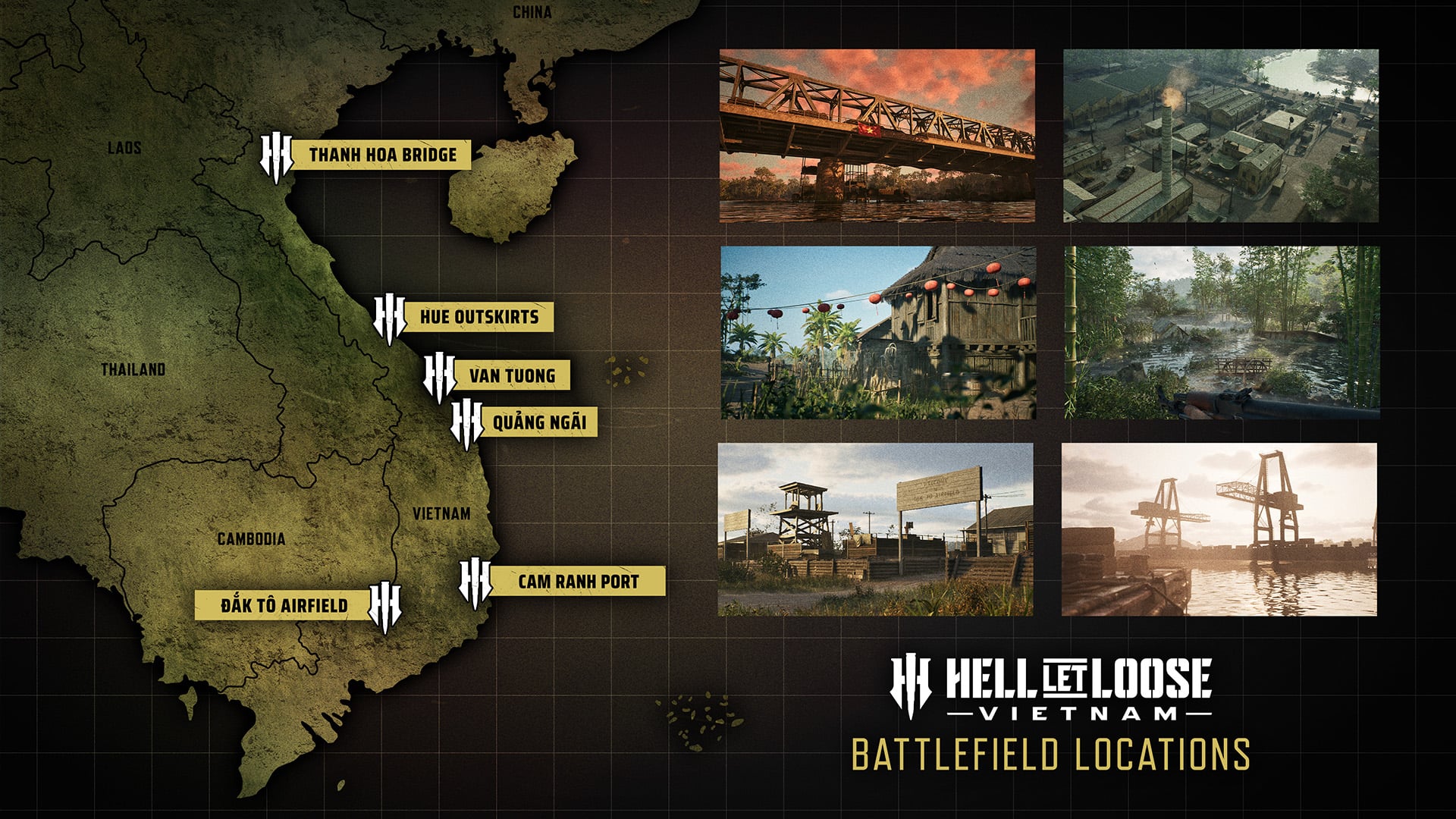
The safest way to understand the maps is by terrain identity. Rivers, bridges, villages, jungle, cliffs, caves, open airfields, docks, and industrial zones all change how squads should move. The launch map pool shows more than jungle, including farmland, waterways, settlements, coastal locations, docks, and open terrain.
All Launch Maps at a Glance
| Map | Main Terrain | What Players Should Expect |
|---|---|---|
| Thanh Hoa Bridge | River, bridge, jungle, mountains, villages, trainyards | Cross-river fighting and hard clashes around crossings. |
| Hue Outskirts | Terraced farms, mountains, jungle, bases, industrial areas | Vertical fighting and close-quarters engagements. |
| Van Tuong | Rivers, villages, jungle, amphibious routes | Boat movement, ambushes, and semi-urban fighting. |
| Quang Ngai | Flooding, cliffs, caves, bamboo forest, lowlands | Harsh terrain, vertical routes, and jungle-to-river shifts. |
| Dak To Airfield | Airstrip, craters, destroyed vehicles, open ground | Wide sightlines where recon, armor, smoke, and teamwork matter. |
| Cam Ranh Port | Docks, waterway, dunes, militarized zones | Boat skirmishes and close-quarters dockside combat. |
Thanh Hoa Bridge
Thanh Hoa Bridge is built around the Nam Ma River and a major crossing. The bridge, also known as Dragon's Jaw, was a heavily fortified location during the war. In gameplay terms, expect squads to fight over crossings while using jungle and mountainous terrain to gain angles.
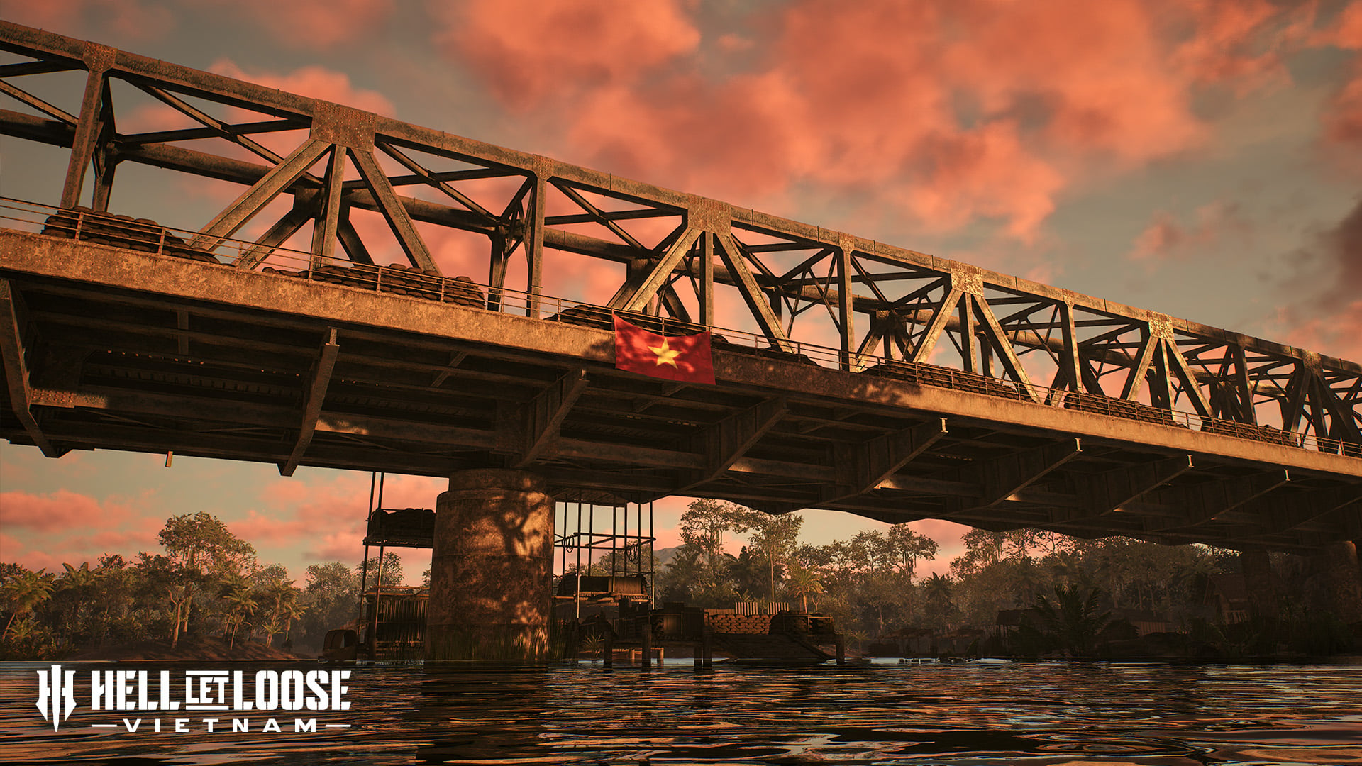
The bridge creates a natural focal point without making the whole map a single hallway. Boats, tanks, helicopters, and infantry can all converge around the crossing, which makes map control more dynamic than a simple bridge rush.
Hue Outskirts
Hue Outskirts is tied to the Tet Offensive setting and focuses on the areas around Hue rather than the full city itself. The map uses mountainous terrain, terraced farms, dense jungle, defended US bases, concrete industrial areas, and accessible waterways. This makes it a blend of vertical combat and claustrophobic close-quarters fighting.
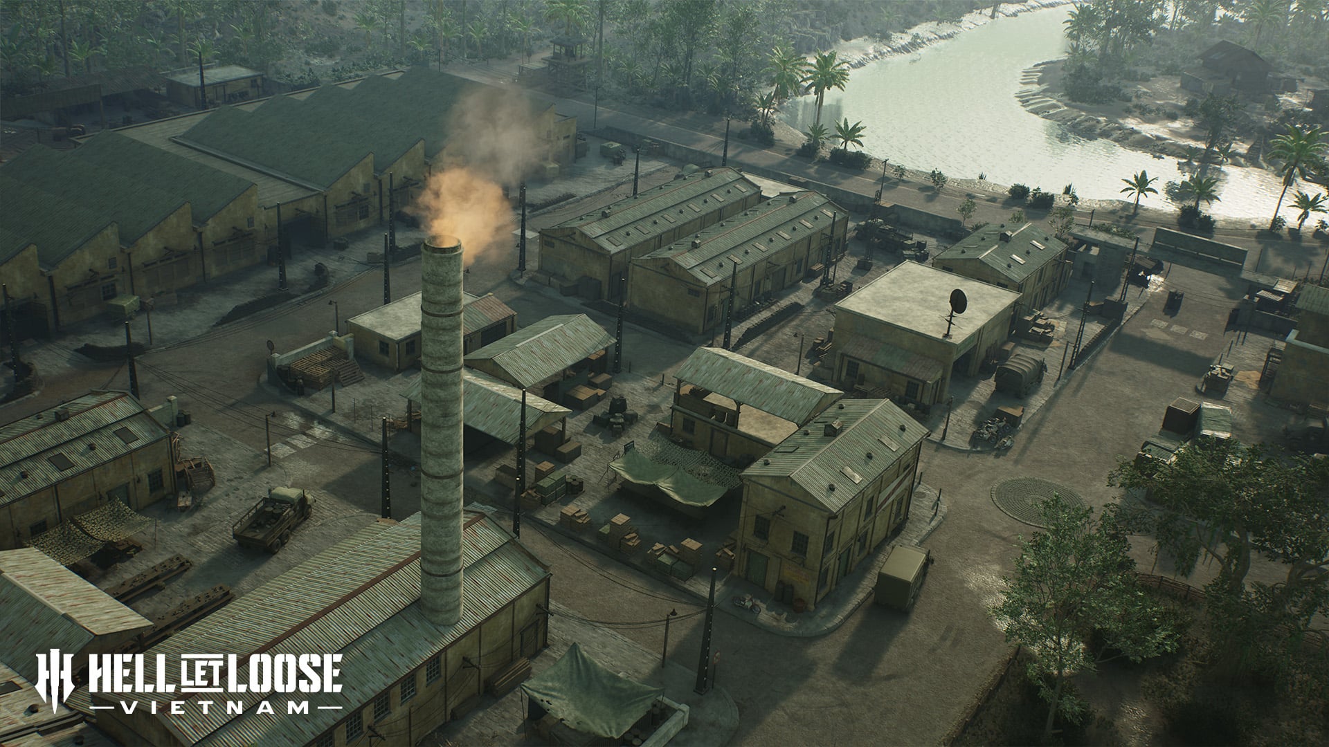
For players, the key question is whether your squad is moving through terrain, water, or built-up areas. Dense locations can help the NVA use tunnel pressure, while waterways can create alternate routes. Do not play it like a flat jungle map; elevation and compounds matter.
Van Tuong
Van Tuong is connected to Operation Starlite and uses villages, jungle, and a sprawling river network. It works well as an amphibious assault battlefield because patrol boats can move aggressively through the water routes. Dense river foliage also makes infantry ambushes more likely.
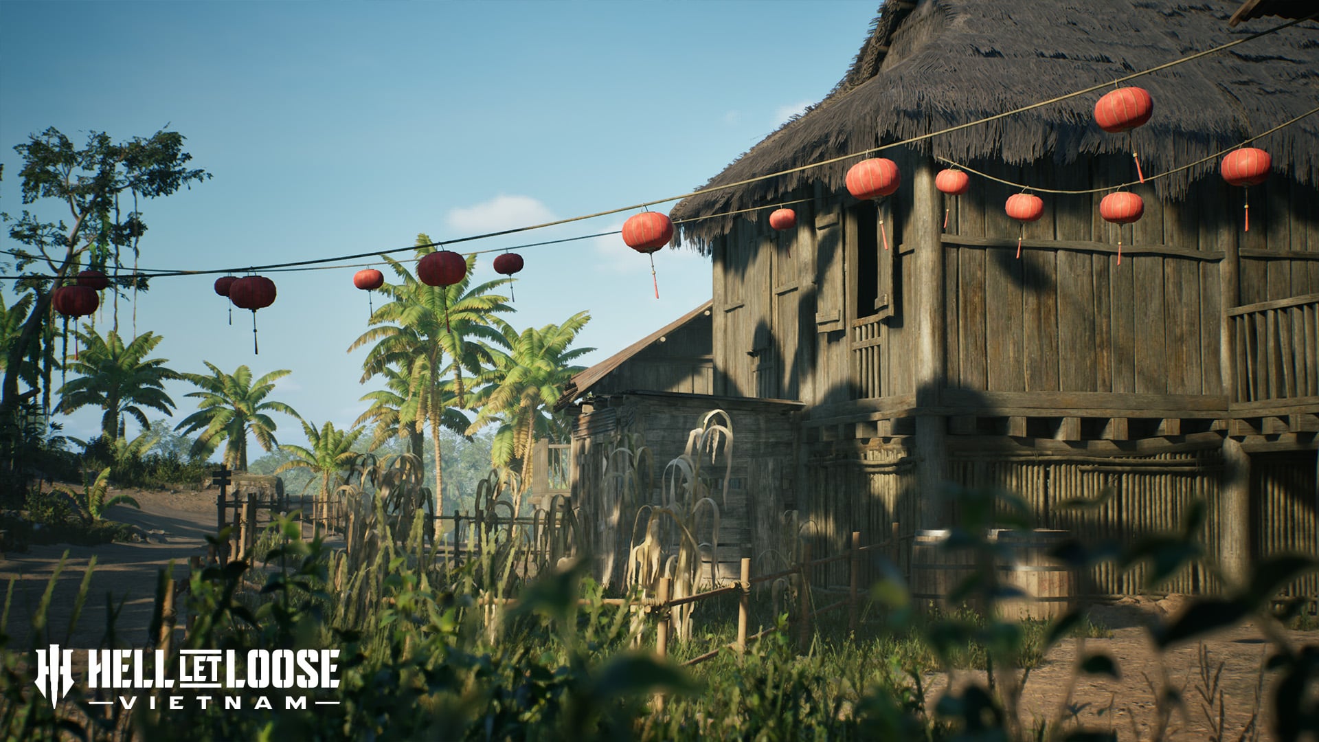
This map rewards squads that do not only stare at the obvious lane. Watch banks, bends, small bridges, and village approaches. If your team controls river movement, you can reposition faster; if you ignore the rivers, enemy boats or infantry can appear from angles that feel far away from the main fight.
Quang Ngai
Quang Ngai links monsoon flooding, rocky cliffs, caves, tropical bamboo forest, open lowlands, and cross-river expanses. The tactical identity is terrain adaptation. Squads may move from tight jungle to exposed water crossings and then into vertical cliff fighting.
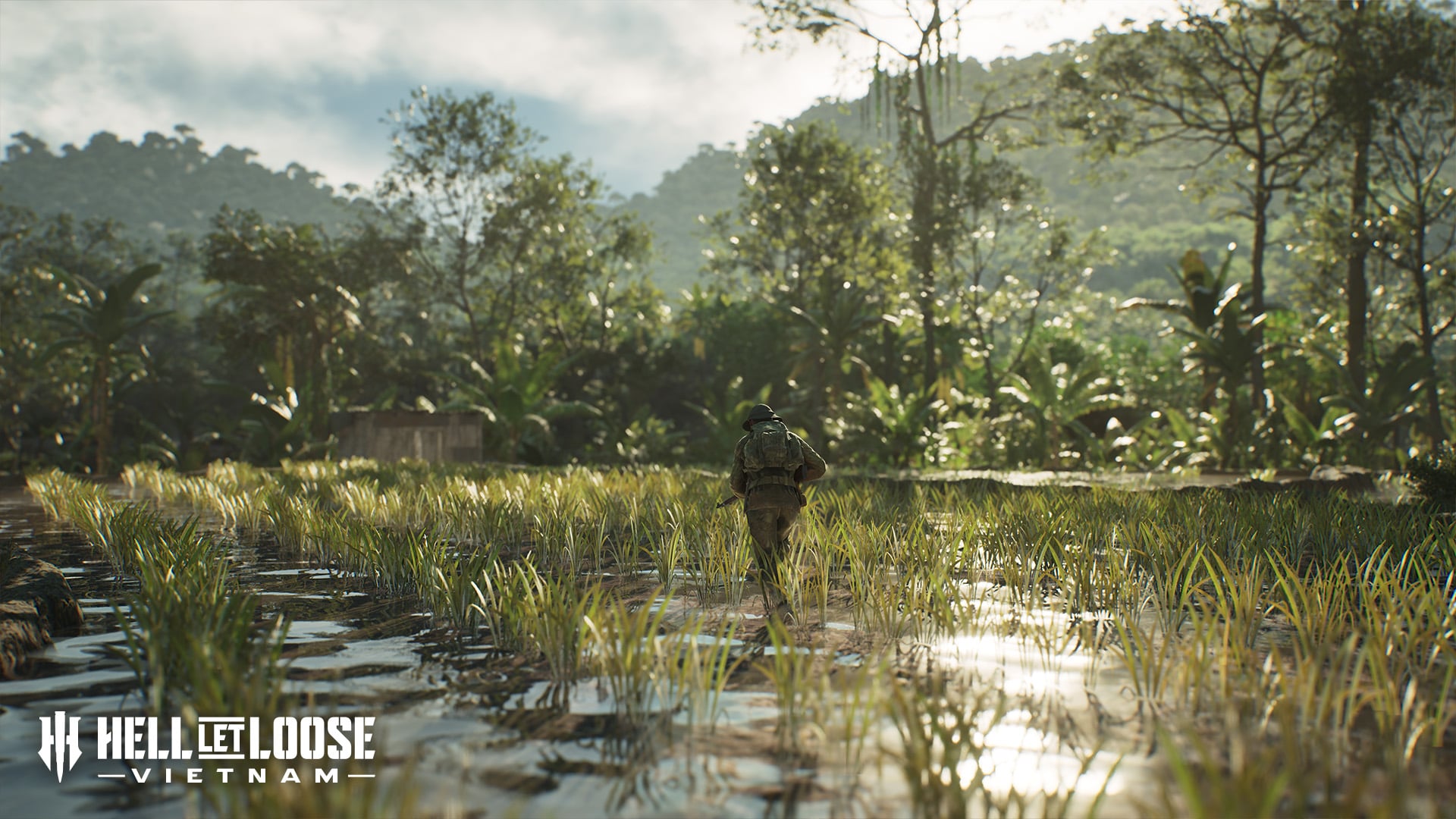
Natural caves complement NVA tunnel networks, while helicopters help US forces with envelopment and aerial support. This is not a flat map. Use height, concealment, and alternate river or cave-adjacent movement carefully.
Dak To Airfield
Dak To Airfield changes the pacing because the central airstrip and cleared surroundings create more open sightlines. The long runway, nearby armor and recon opportunities, impact craters, destroyed vehicles, and exposed space make teamwork essential.
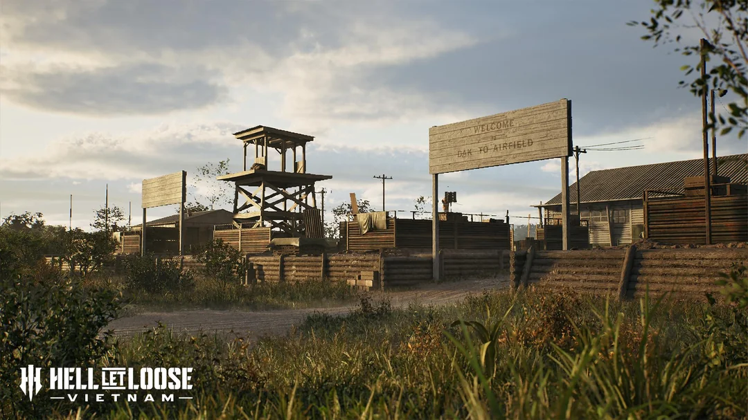
Infantry should not cross open ground unsupported. Use smoke, suppression, crater cover, vehicles, and coordinated movement. Recon and armor can thrive here if the opposing team tries to move as scattered individuals instead of squads.
Cam Ranh Port
Cam Ranh Port shifts the battlefield toward industrial and coastal combat. Militarized areas, dry creek beds, rolling dunes, a large southern waterway, and dockside DeLong Piers define the layout. The docks can become maze-like close-quarters zones while the waterway supports wide boat skirmishes.
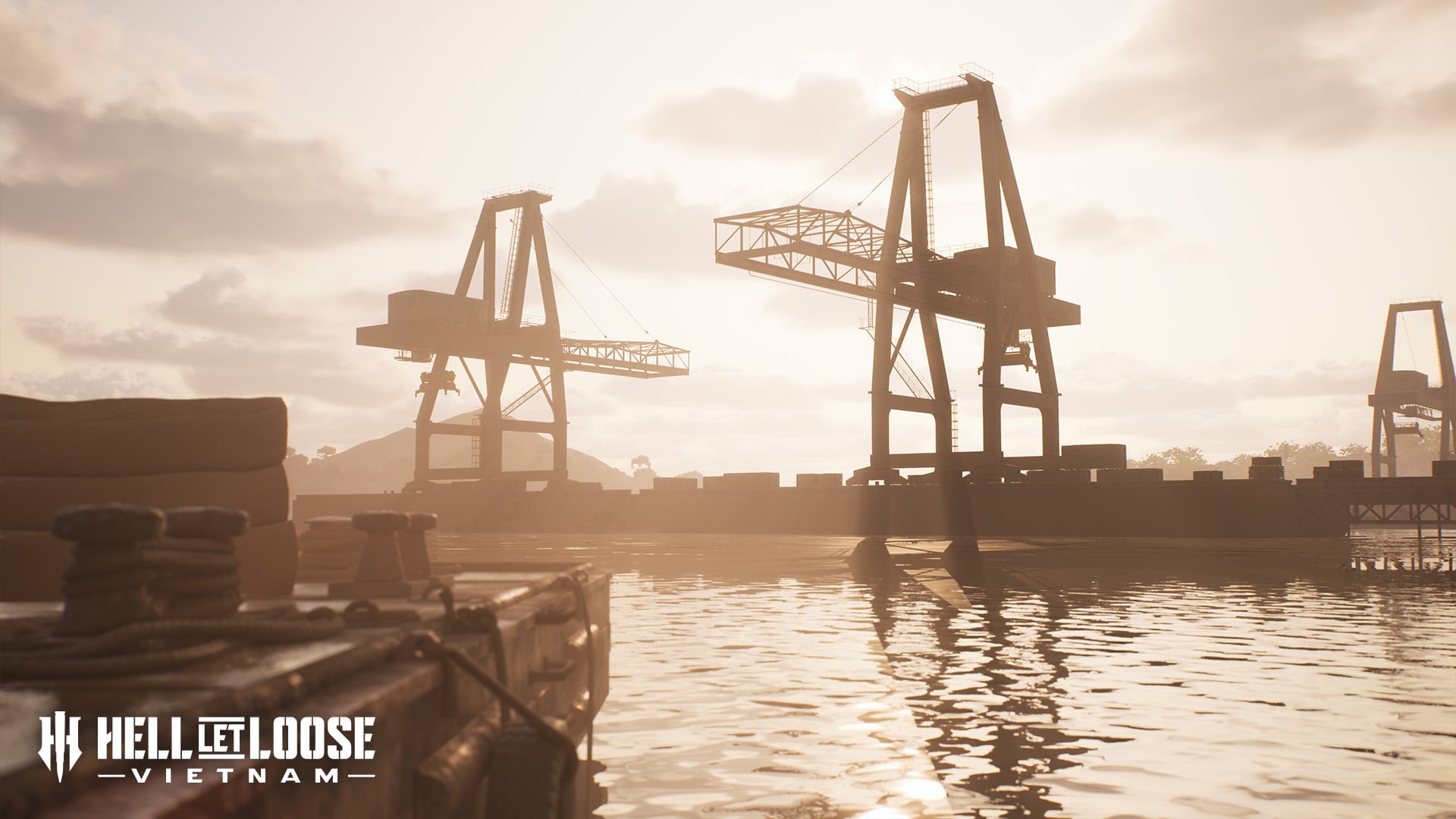
For squads, the page’s main takeaway is route discipline. Docks punish sloppy movement because close corners and hard cover compress fights quickly. The waterway punishes teams that fail to watch boat movement and supply routes.